Interactive map showing various real estate projects with a highlighted tooltip for a project under contract.
Detailed interactive map showing zoning designations, parcel boundaries, city and county boundaries, with dense road networks and color-coded zones for residential, commercial, and agricultural areas.
Interactive map showing parcel boundaries and estimated property values, with color-coded regions, parcel data points, and a sidebar menu featuring map layers and market filters.

2026 Best of IBS Award Finalist

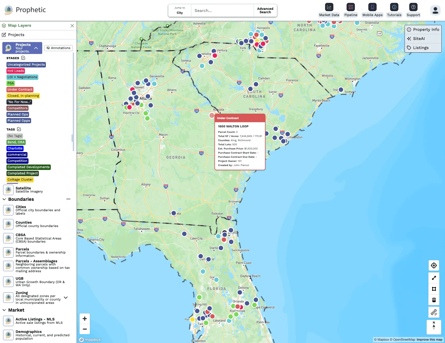
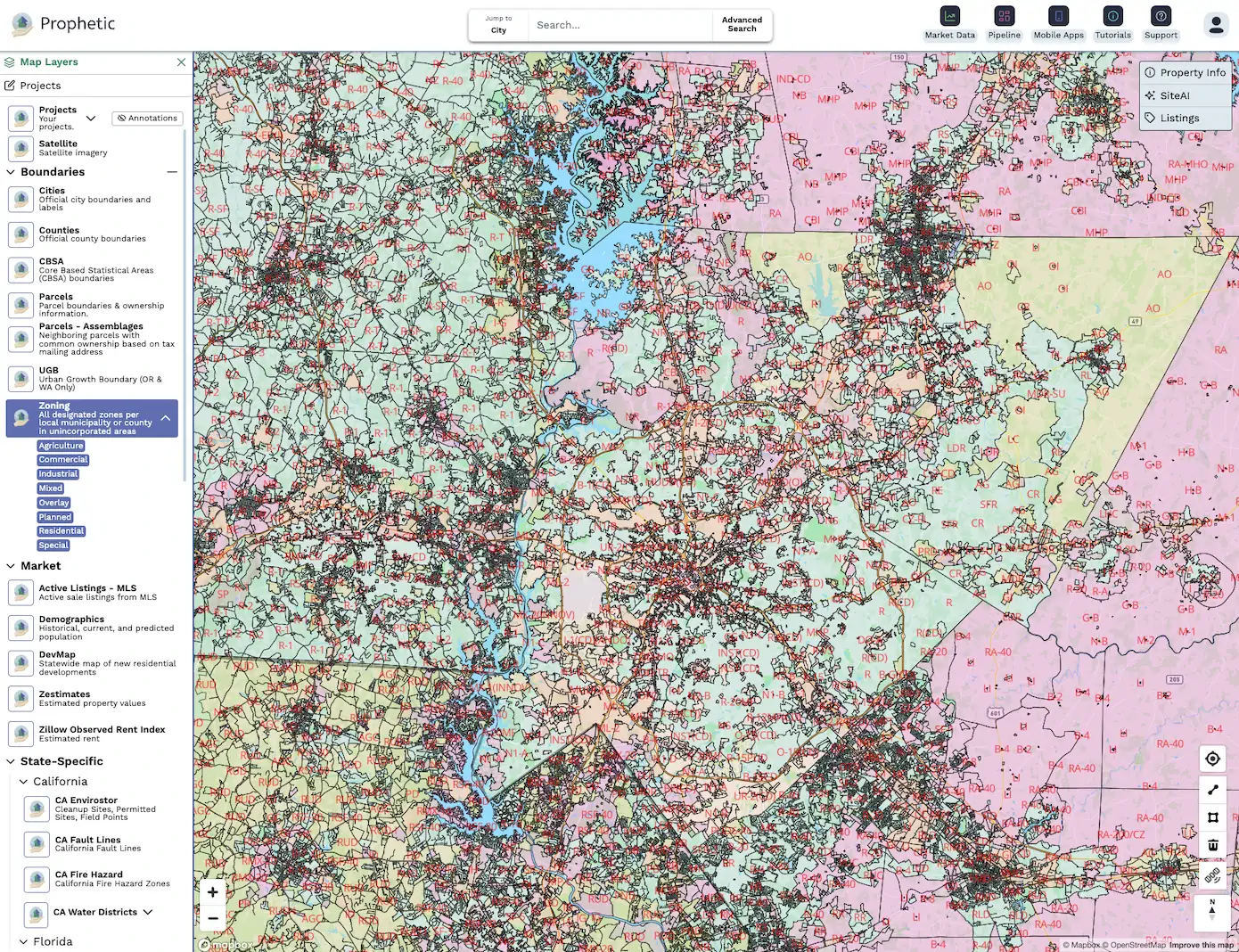
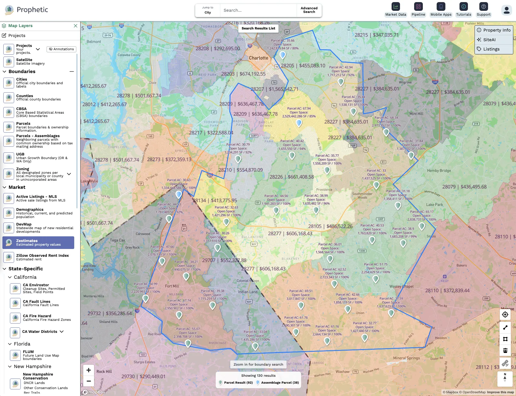
The AI-native Platform Built for Land Acquisition

Find More. Decide Faster. Win More.

Schedule your private demo at IBS. Limited slots.
Thank you! Your submission has been received!
Oops! Something went wrong while submitting the form.
Visit us at Booth S7059
Empowering developers nationwide: